Mapping My Way Home
Among the land-knowledge holders of northern BC, Neil J. Sterritt is a central one, both culturally and geographically.
Sterritt is Gitxsan, is a member of Fireweed (Giskaast) Clan, House of Gitluudaahlxw, and was the president of the Gitxsan-Wet’suwet’en Tribal Council from 1981 to 1987. Much of his work has been upholding aboriginal and Gitxsan rights, especially in the precedent-setting 1997 Supreme Court of Canada case Delgamuukw v. BC, which led to his part of the creation of the book Tribal Boundaries in the Nass Watershed (UBC Press 1999).
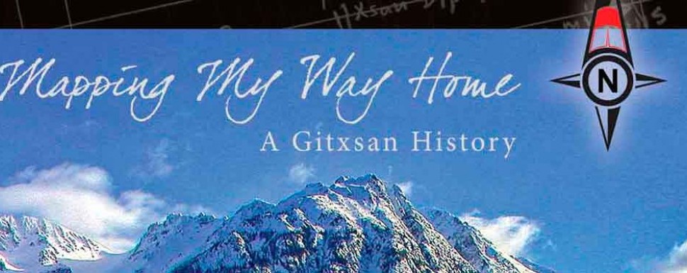
His new book, Mapping My Way Home: A Gitxsan History (Creekstone Press), continues to document the history of the Canadian and BC governments’ refusal to address indigenous title and rights for much of the 20th century.
At the book’s outset, a reader encounters clear signals that this is a counter-history; along with a variety of territory maps, there are family trees and creation stories featuring Wiigyet, a figure Sterritt describes as closely resembling the Tlingit-Haida trickster Raven, but with some differences: Wiigyet was “caught between spirit and flesh. He was no man, yet all men.” Further, Wiigyet is located on and by territory:
I have been fortunate to work with many elders over the past four decades who have pointed out place names arising from Wiigyet’s adventures, thus connecting the moral map contained within Wiigyet stories with actual landmarks on the physical map of Gitxsan territories.
Much of the book is about the world of Sterritt’s ancestors and the community in which he grew up. His accounts range from the founding of Gitanmaax, Kispiox and Hagwilget to the arrival of the fur trade, mining and missionaries, up to recent oil pipeline threats.
Throughout, the importance of maps and map-making is emphasized. Sterritt’s work to establish and defend Gitxsan territory is monumental; in a culture so tied to land, his efforts have maintained the identity of the Gitxsan houses. But these maps are both literal territory maps and maps of identity that are personal and figurative. His accounts of family, community and culture are valuable documents of colonization’s nature and its effects on where we (settler and Gitxsan) live. In his opening chapter, Sterritt maps out an example of this contact zone:
A casual visitor could be forgiven for assuming Hazelton is larger than thirteen acres. Gitanmaax and Hazelton appear to be one community with the reserve boundary bordering the town’s. On the side of the road by our house stood St. Peter’s Anglican Church. Nearby, overlooking Hazelton and the church, stood Gidumgaldo’s totem pole. The pole and the church symbolize very different histories, customs, values and beliefs. Gidumgaldo’s totem pole was carved and erected in 1881; St. Peter’s Church was built twenty years later. Gidumgaldo’s long house once stood behind the pole. My grandfather, Charlie Sterritt, was born there, in Gidumgaldo’s house, in 1885.
Sterritt’s goals are to map his people’s territory, to “work directly with the simgiiget (Gitxsan Chiefs) and identify and map the historical territories of the Gitxsan houses so they would be preserved for all time.” Like a counter-history, a counter-colonial map is an assertion of what has been erased, what has been oppressed and what social justice would rightfully restore.
Sterritt ends the book with a glossary and pronunciation guide—the Gitxsan language, like the land, is a crucial lifeline to the Gitxsan people: the language-story-land that spells home.


