Trails
To Break, or Not to Break…Trail
As snow falls and the holiday season approaches, do our hearts not turn to thoughts of snowshoeing? Whether you are a neophyte or a seasoned guru, opportunities abound around Smithers.
READ MORE➦
Colouring the Map
You know when a place is named for a colour? Blue River, Red Bluff, etc. etc. Sometimes the reason why is not as obvious as you’d think. Jo Boxwell checks out a few colourful northern BC locales.
READ MORE➦
Onions, Little and Big
Just outside of Babine Mountains Provincial Park, "The Onion" is a "tick-the-box" kind of hike.
READ MORE➦
Lost or Found?
We asked six writers and one photographer (Michelle Yarham) to tackle this issue’s theme in whatever way they saw fit. What they came up with is quirky, funny, poignant, reflective, and uniquely northern.
READ MORE➦
The Rescuers
Every year, volunteers from across the province save lives, plucking the lost from the backcountry. Contributing editor Amanda Follett Hosgood talks to search-and-rescue groups to gain some insight into the complexities and challenges facing SAR organizations in northern BC.
READ MORE➦
Ptarmigan Mountain
Close to Prince Rupert, Ptarmigan Mountain provides great access to the open alpine.
READ MORE➦
On Ancient Ice
Tatshenshini-Alsek Park is iconic Canadian wilderness. It’s rugged, remote, and truly remarkable. Perched on a confluence of borders—BC, Yukon, and Alaska—the park is part of a UNESCO World Heritage Site, the largest protected natural area in the world.
READ MORE➦
Beginnings
Check out Northword's latest publication, a collection of northern stories and amazing images.
READ MORE➦
Skip Mountain
Skip Mountain is a great accessible scramble between Prince Rupert and Terrace.
READ MORE➦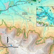
McDonell Lake Trail
The McDonell Lake Trail is an old horse-packing route that historically began at the lake, opposite Copper River Ranch.
READ MORE➦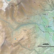
Opal ridge: No semi-precious stones, but still a hidden gem
The valley of Silvern Creek cuts deliciously into the heart of a mountain knot just west of Smithers
READ MORE➦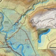
Suskwa Crossing: A bridge made of telegraph wire
If you go down to the Suskwa River where it passes through a tight canyon some four and a half kilometres above its confluence with the Bulkley, you will discover the remains of a very old bridge, an airy span built from nothing but telegraph wire and wood.
READ MORE➦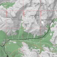
Silverking Basin: Winter cabin in the mountains
One of the most popular summer hikes near Smithers is the Silverking Basin.
READ MORE➦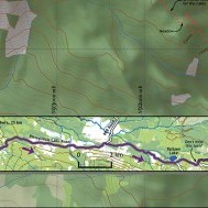
Hankin Lookout Cabin Sleeping in the sky Morgan Hite
A boxy, renovated two-story fire lookout sticks up on a knob on the north side of Hankin Peak, with fine views of Rocky Ridge and the Kitseguecla River valley, as well as Ashman Ridge and Paleo Peak to the west.
READ MORE➦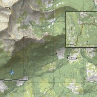
Seaton Ridge trail: A high lookout upon many ranges
As you drive into Moricetown from the south you can’t help but notice the prominent peak that seems to stand just behind the town.
READ MORE➦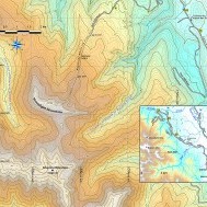
Moonlight Mountain: A place for telling seasons
The alpine ridge that I was introduced to as “Moonlight Mountain” is a spur of the larger Kispiox Mountain, an arm flung out first north and then northwest to enclose the headwaters of one of the tributaries of Moonlit Creek.
READ MORE➦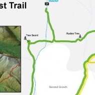
The Ancient Forest—A walk through BC’S hidden treasure
The Ancient Forest is located 113 km east of Prince George off Highway 16, in one of the upper Fraser River Valley’s few remaining antique stands of western red cedar.
READ MORE➦
Atop the Telkwa Alps
I remember someone in the last 10 years proposing that the hills rising to the east of Tyhee Lake be re-named the “Telkwa Alps.”
READ MORE➦
Cranbrook Hill Greenway: Prince George’s greener transportation corridor
Greenways—a vegetation belt intended to maintain foliage while encouraging pedestrian use—are increasingly common in urban areas.
READ MORE➦
Skilokis Ridge: Stairway to heaven
Skilokis Ridge is a remarkable trail that makes the claim to having you above treeline—on a spur of Blunt Mountain—in 30 minutes.
READ MORE➦
Naydeena Mountain stunning views from “standing up alone”
Nadina Mountain Provincial Park south of Houston is large, hard to access, little-visited, non-motorized and has no facilities—but what a spectacular peak!
READ MORE➦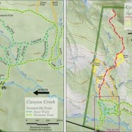
Canyon Creek—Groomed trails, tree skiing, and alpine meadows
Canyon Creek Cross-Country Ski Area is about 25 minutes from Smithers up Babine Lake Road.
READ MORE➦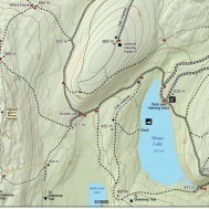
Forests for the World: A bit of Nature, nestled in a northern city
Forests for the World is a tiny bit of wilderness park embedded in the city of Prince George.
READ MORE➦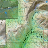
Juniper Creek and the Red Rose Mine
Once upon a time the old road up Juniper Creek was the main highway to a working mine situated in extreme conditions.
READ MORE➦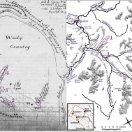
McGillivray’s Map
Simon McGillivray, a trader for the Hudson’s Bay Company, was the first outsider ever to visit “the Forks,” the place where the Skeena and Bulkley rivers join, and later the site of the town of Hazelton
READ MORE➦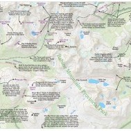
A Graphical Guide to Joe L’Orsa’s ‘History of the Babines’
In 1990, Joe L’Orsa wrote a 29-page typed manuscript detailing the “History of The Babine Mountains Recreation Area.”
READ MORE➦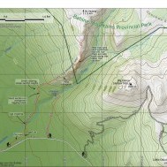
Ganokwa Canyon Trail
Many people were concerned about my publicizing this trail, so let me lead off by explaining why. The Ganokwa Canyon Trail goes into a zone of highly valuable habitat for mountain goats.
READ MORE➦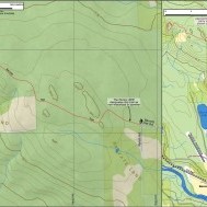
Take a Walk on the Hat: A bit of Bulkley Valley history
It seems that a regular theme of conversation among parents is what hikes they are now able to make with their children.
READ MORE➦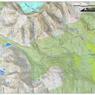
The Silvern Lakes
This is an intriguing trail that takes one deep into the area behind (that is, to the west of) Hudson Bay Mountain near Smithers.
READ MORE➦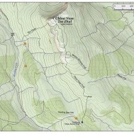
China Nose: Northern BC’s Yellowstone
This is a stunning summit reached by an easy trail. China Nose is a remnant of a massive lava flow, rising gently from a forested south end to a shocking and exciting 400-metre cliff at its north end.
READ MORE➦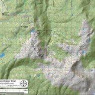
Seeking Robinson Ridge
A plywood cabin tucked above an alpine lake sheltered by Robinson Ridge lures me away from the warmth of my home and laughter of my family. I gather my gear. My dogs wiggle, their noses nudge. I leave Terrace and drive south along Highway 37 towards Kitimat. The dogs’ noses press against one window and then the next, in anticipation. South of Hirsch Creek Bridge—57.5 km from Terrace and just one-half km before Kitimat—I take the first left onto Forest Avenue.
READ MORE➦

